Members View Specific Record Number Scroll down the record
*****SWAAG_ID*****
71
Date Entered
12/01/2011
Updated on
11/12/2012
Recorded by
Tim Laurie
Category
Burnt Mound
Record Type
Archaeology
Site Access
Private
Location
High Blean Farm. On bank of stream close to and visible from the road opposite High Blean Farm.
Civil Parish
Bainbridge
Brit. National Grid
SD 8716 9274
Altitude
300m
Record Name
High Blean Farm. Burnt mound on west bank of stream close to and visible from the road opposite High
Record Description
High Blean Farm. Medium sized burnt mound on bank of stream close to and visible from the road opposite High Blean Farm.
Unsurveyed.
Indicative Dimensions of Burnt mounds.
Size: Small <6m, Medium 6m-9m, Large 10m-15m, Extra large >15m.
Height: Low <0.5m, Average 0.5-1.0m, High >1.0m.
Dimensions
Medium, high
Additional Notes
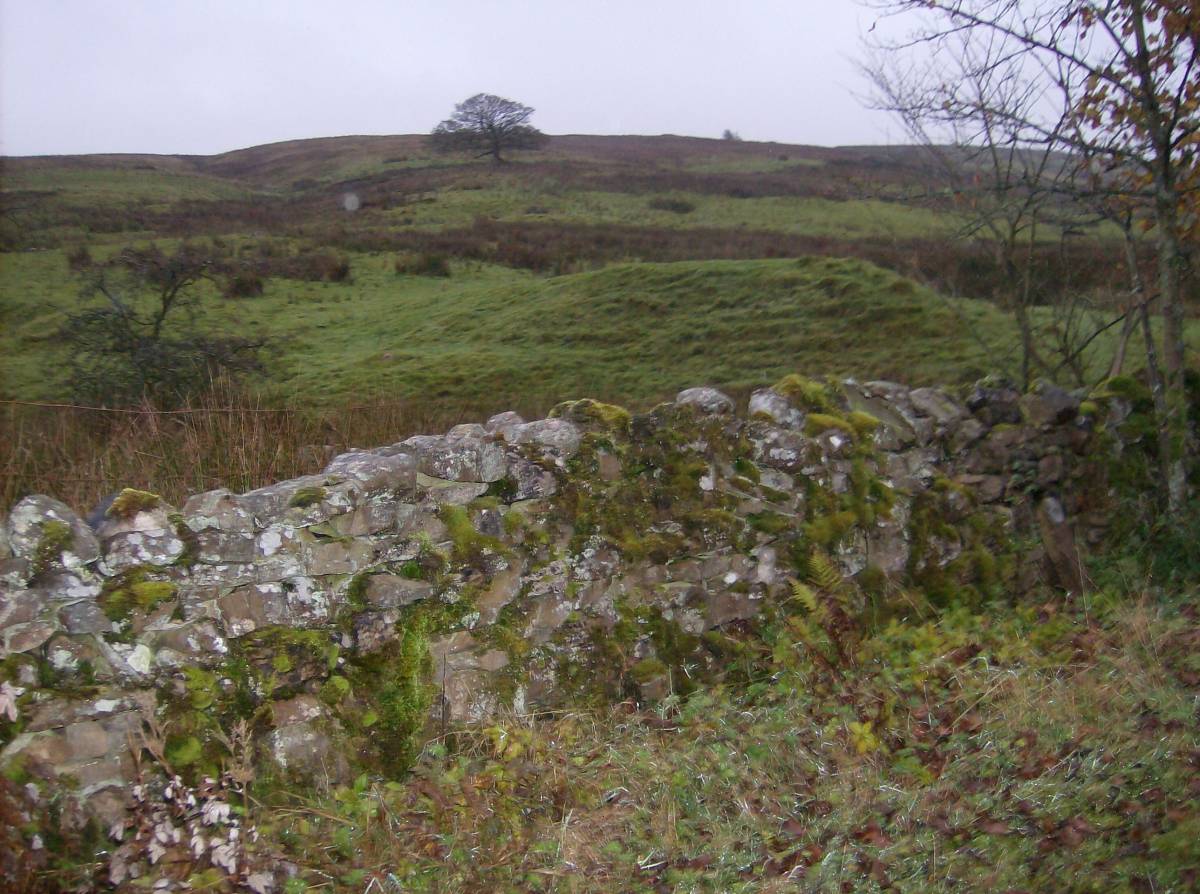
Photographed from the road.
Image 1 ID
3860 Click image to enlarge
Image 1 Description
The High Blean Burnt Mound, photographed from the road.